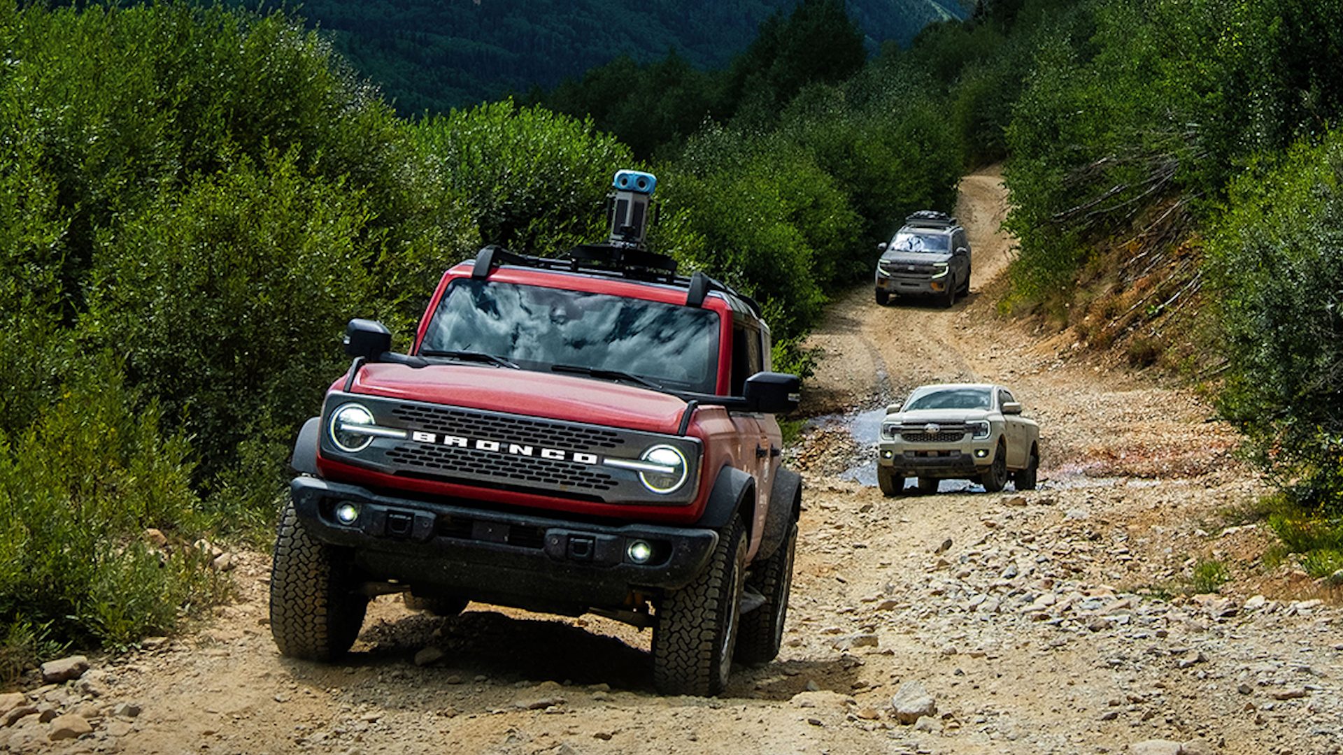
It’s 2025 and I’m still blown away by Google Street View. You’re telling me that I can type in almost any address—in the United States, or Japan, or wherever—and see what’s around without actually being there? Amazing. I use it a quite a bit when I’m writing blogs for this here website, and thanks to a recent Ford collab with Google, I won’t be so confined to normal city streets anymore. That’s because a team of Blue Oval vehicles recently drove the entire 5,900-mile TransAmerica trail system, led by a Bronco with a Street View camera on top.
Now, obviously, the TransAmerica Trail is a big’n. The Ford fleet’s trek across 13 states took 35 days altogether. They started in Port Orford, Oregon, and ended in Nags Head, North Carolina, after driving over all kinds of terrain to get the job done: sandy beaches on the WEst Coast, slickrock in Utah, gravel and jagged rocks in… lots of other states.
They even journeyed through my neck of the woods in the Ozarks. If it’s on the TransAmerica trail, Ford and Google logged it.

Taking Street View Off-Road | Ford x Google Maps
Obviously, this is good marketing for the Bronco as it drove the whole trail, but so did a Ranger and an Expedition Tremor. I guess it’s good to know you can take the whole family. Just make sure to follow the Tread Lightly principles like Ford did here.
This will inevitably come in handy for me when some goober in a Cybertruck gets royally stuck on the trail and I’m tasked with writing about it. If you are such a goober, think ahead and plan your route using Street View first.


Got a tip or question for the author? Contact them directly: caleb@thedrive.com
Loading comments…
Comments couldn’t be loaded. Please refresh the page.