NASA has chosen geolocation leader NextNav’s Metropolitan Beacon System (MBS) to help the space agency refine its Urban Air Mobility (UAM) platform, a transportation management system with applications ranging from drone deliveries to passenger drones.
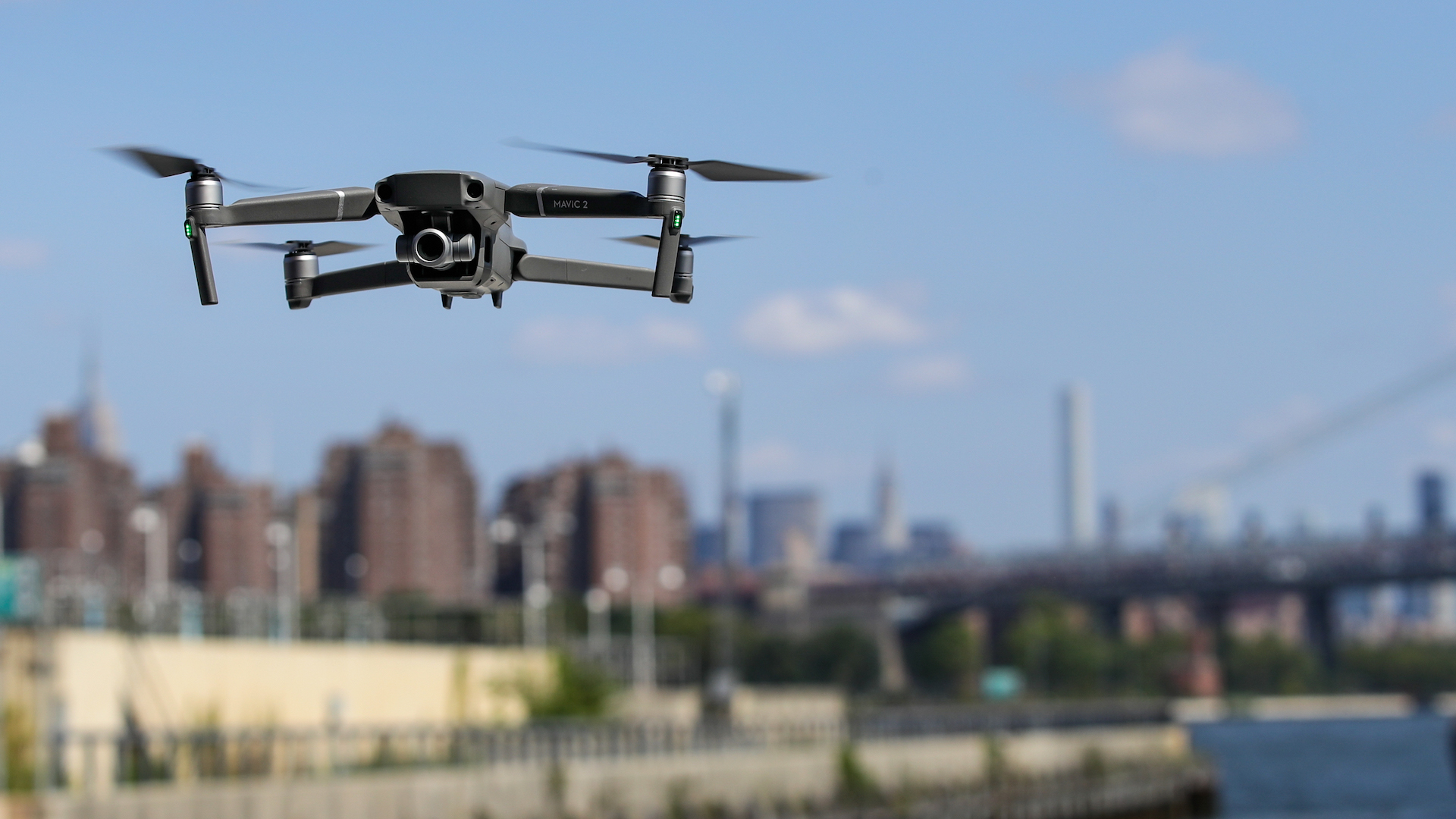
According to a press release, NextNav’s MBS appeal stems from its ability to facilitate drone missions where GPS signals aren’t reliable enough to locate a UAV’s horizontal and vertical location. This, of course, is vital for successful passenger drone or drone delivery operations to function in such environments (namely, in cities).
Nasa intends to use NextNav’s MBS as part of the space agency’s CERTAIN (City Environment for Range Testing of Autonomous Integrated Navigation) facilities at the Langley Research Center in Virginia.
“NextNav’s MBS system provides us with new tools for the development of navigation systems in environments where GPS has traditionally been challenged,” said Evan Dill, who works in NASA’s Safety-Critical Avionics Systems Branch. “We’re looking forward to working with MBS as we develop new approaches to the operation of unmanned systems in urban environments.”
NextNav’s location services will naturally be bolstered by GPS signals wherever available, ensuring a sort of backup in case one mode of localization should fail. The company’s technology is primarily intended for public safety, infrastructure, and commercial applications that require highly precise and reliable location data, which NextNav describes as “accurate horizontal positioning” and “floor-level altitude precision.”
“We are proud to work with NASA and integrate MBS into its urban drone operations,” said NextNav CEO and co-founder Ganesh Pattabiraman. “The MBS system is designed for secure, reliable and consistent 3D geolocation capabilities which are important for autonomous systems such as drones. NASA’s acquisition of the MBS system is an exciting milestone for MBS technology and a great partnership with NASA to address the key challenges in urban drone navigation and make it possible to explore new opportunities in unmanned operations.”
Ultimately, this is not only a huge boost for Pattabiraman and his company, but for those in the unmanned aerial vehicle industry keen on seeing drones assist various aspects of day to day life at some point in the near future.
The FAA estimates that over 700,000 commercial drones will be delivering packages, monitoring traffic and aiding search and rescue missions by 2022. With UAVs already seeing a rampant increase in public safety offices across the country, construction and infrastructure inspections, having NASA acquire this particular company and its platform is a promising sign that the above estimate is largely fair.