The P3 Charity’s Lincolnshire Street Outreach Team near Nottingham, England has decided to bolster its support services for the socially vulnerable and dismissed by introducing camera-drones to more effectively locate and assist them, according to the charity’s press release.
Rough sleepers, as the homeless population finding refuge in the great outdoors is colloquially referred to, are often difficult to track for regional support workers. For P3, losing invaluable time in these efforts is no laughing matter, as many local homeless citizens can be both physically and mentally fragile. Fortunately, the charity has officially begun utilizing camera-drones to more rapidly and efficiently locate these people, by live-streaming the collected footage from unmanned aerial vehicles to team members on the ground.
“This technology revolutionizes our ability to direct rapid support to vulnerable people sleeping rough,” explained P3 Service Coordinator Andy Lee. “Often when we receive information from the public letting us know about someone sleeping rough the location is vague—for example, ‘in the sand dunes along the North Shore’ or ‘down the public footpath and across the field’—and of course sometimes the person has also moved on from this location.”
In addition to providing vital additional time in reaching these tragically incapacitated residents, using camera-drones in this endeavor also increases safety measures for the first responders making their way to a located and identified homeless person.
“Because the drone will help us to search relatively vast areas within a relatively short period of time, we will be able to locate people much faster, assess the easiest and safest route to access their location and guide our support workers remotely to them,” said Lee. “It will prove to be an invaluable asset, because time is always the key factor when we’re trying to find someone.”
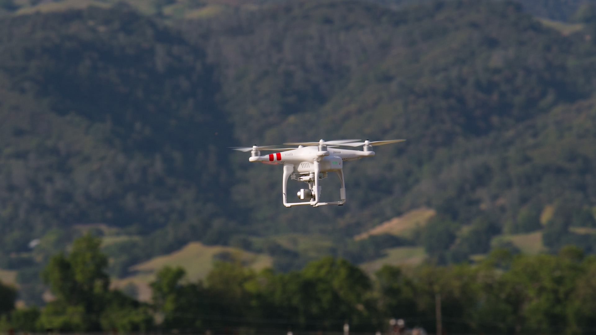
The following visual quality in the YouTube video below is quite shoddy, which might be the result of an imperfect file compression. Regardless, it’s clear that P3 garners an invaluable advantage in its efforts to locate people through even the grainiest of visual fidelities.

P3 Lincs Drone Flight
Search and rescue missions are undoubtedly improved by modern drone technology, with countless recent initiatives across the globe proving so, seemingly every single week. Most recently, the Irish startup DroneSAR developed software intended to be universally compatible with drones of all kinds in order to locate missing persons. The Effingham Fire Department in Illinois, too, just deployed its new UAV for the first time and successfully rescued a mission 12-year-old boy from dangerous climates amidst a heat-trapping cornfield.
“Being able to reach a person, assess their situation and begin working with them—after receiving a call from the general public—means our energies can be refocussed to ensure the person receives the right support, is safely accommodated and can begin the process of rebuilding their life,” said Lee.
Thankfully, P3’s humanitarian drone use is further evidence that this modern aerial tool can be employed, and deployed, for the social welfare of the fragile citizenry living among us.