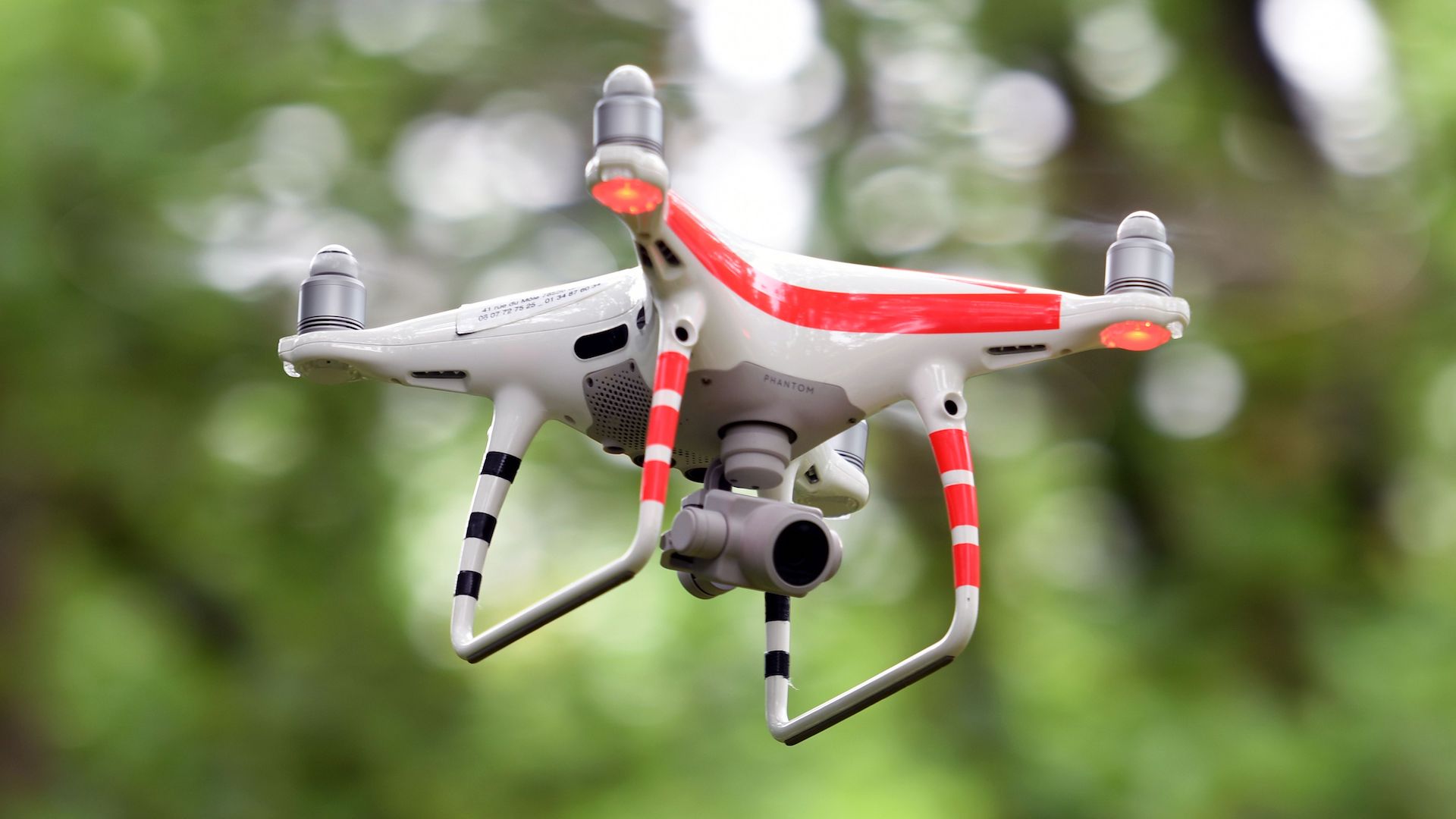
Next week, MIT researchers will present a paper at the International Symposium on Experimental Robotics conference which details an autonomous drone fleet capable of collaboratively searching heavily forested areas without GPS, MIT News reports.
Navigating environments autonomously is a complex technological feat in and of itself, with lack of a satellite navigation system making it all the more difficult. In the past year alone, however, we’ve seen numerous drone companies manage to bypass that hurdle by developing systems that rely on wireless communication and onboard computer processors, instead.
In MIT’s case, each quadcopter is fitted with laser-range finders that estimate the vehicle’s position, localization, and planned path. During flight, the drone’s onboard processor continuously creates individual 3D maps of its surroundings, thereby learning about nearby obstacles, movement, and clear flight paths.
Additionally, algorithms let the drone know that it has scanned areas it’s already flown through, thereby wasting no time and accurately eliminating areas of interest. This brings us to the collaborative fleet aspect of the system.
A ground-based communication hub can gather and coalesce maps collected from multiple drones, and construct an informative, precise model of the environment in need of exploration. MIT plans on implementing object detection into the final product, so that a found missing person could be tagged on that map and subsequently help responders on the ground efficiently plan a rescue operation.
Let’s take a look at this system in action.
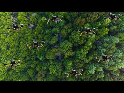
Forest search-and-rescue
“Essentially, we’re replacing humans with a fleet of drones to make the search part of the search and rescue process more efficient,” said Yulun Tian, a graduate student at the institute’s Department of Aeronautics and Astronautics.
MIT tested several drones at once in a simulated, randomly constructed forest environment, and worked with NASA’s Langley Research Center in testing two drones in another forested area. Both endeavors produced an accurate mapping of an area around 20 square meters within two to five minutes. The system even managed to fuse the collected maps of both drones together in real-time, which is, of course, vitally efficient when it comes to search and rescue.
On top of that, the vehicles showed promising results in terms of speed, time required for mission completion, detection of forest features, and precise merging of maps. Ultimately, this is another major step for tech developments in drone-based emergency response. In the beginning, having a mere bird’s-eye view was a stunning and impressive new tool for first responders to have access to. We’ve now come to a point where the process is becoming more and more sophisticated, with intelligent programming and hardware allowing those in charge of saving lives to do so faster and faster. Stay tuned.