Maryland-based company Earth Networks plans to deliver comprehensive weather forecasts for aerial vehicles operating between 10 and 400 feet, exactly where drones fly.
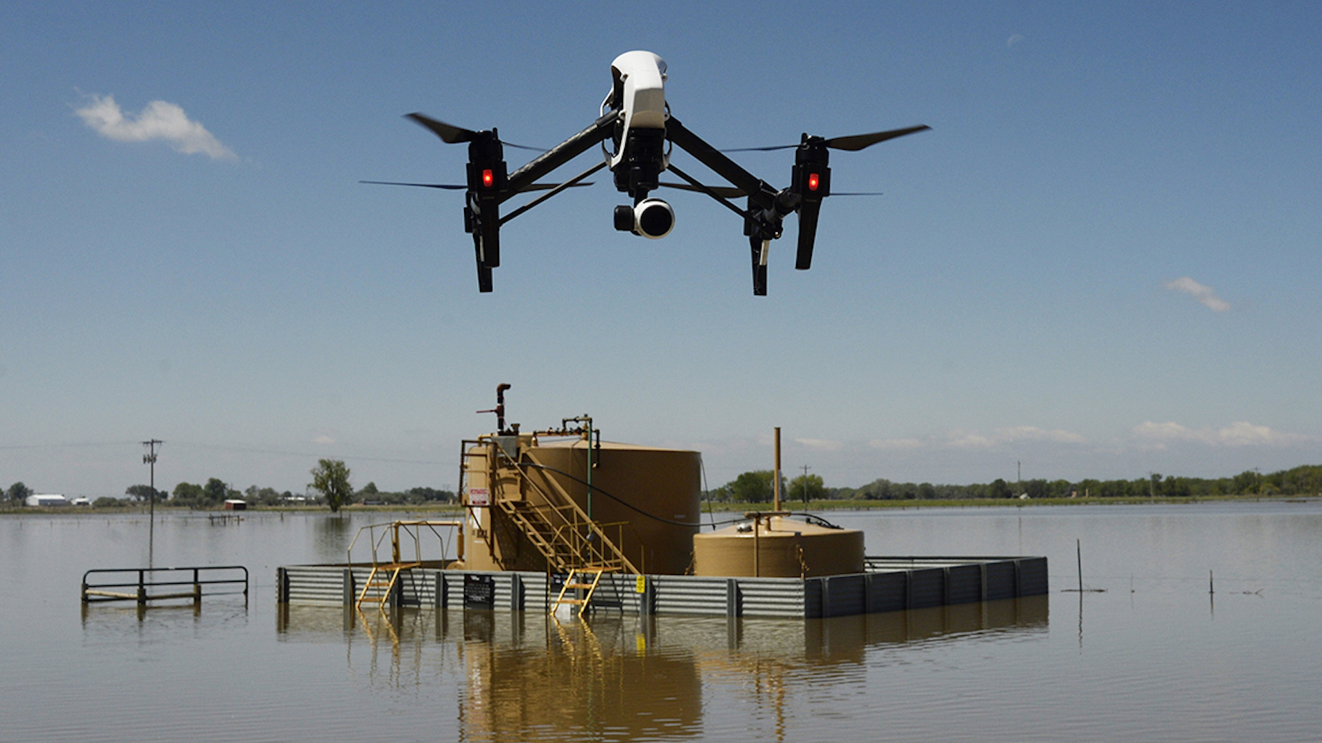
The service, called Sferic DroneFlight, is aimed at industries including construction, insurance, oil and gas, and was announced before the InterDrone 2017 conference.
Earth Networks says it’s focused on bringing “hyperlocal” wind forecasts to drone pilots and the systems being used to operate these UAVs.
At any given time, there could be thousands of drones in U.S. airspace. Some of those are be piloted by individuals and others are a part of autonomous fleets. Either way, having regular, current, “hyperlocal” wind and weather information for a flight path seems like an extremely useful and financially beneficial prospect.
Surely massive retailers who are constantly working to improve their nascent drone delivery efforts look to companies and technologies like this. The fact that Earth Networks has partnered with Global Weather Corporation, one of the world’s most reliable weather forecast providers, is sure to give this proposed service a huge advantage.
Earth Networks seems to be focusing on a few significant areas of improvement, according to its press release. The company wants to provide hourly updates on weather conditions for days in advance, so drone missions can be planned well in advance and scheduled as efficiently as possible.
Information on wind conditions can also help make a drone’s battery life and flight path more efficient. If a certain airstream can help a drone arrive at its location more rapidly, why not use the elements to its advantage?
Geofencing for areas with severe weather are also in the works, so unreasonable flight paths won’t be considered from the get-go. Earth Networks also says it wants to analyze the actual impact of weather using the captured data and any recorded imagery for analysis.
The University of Maryland’s Unmanned Aerial Systems test site is currently being used as the main hub for research and experimentation on this fairly complex system. There’s an amalgam of military and civil aviation, engineering, project management and other experts in their fields leading the program.
We’ll be sure to keep an eye on this story, and report any exciting developments as the people at the UAS test site progress in their research.