Last month, we covered the consortium trying to bring Formula One to the streets of Denmark’s capital, Copenhagen. The story contained a picture of a city that was not Copenhagen (oops) and information surrounding those sponsoring the project, which include local and national dignitaries and private groups seeking either national pride or cash flow. We now know that one of the major private backers is Lars Seier Christensen, a former banker, now a part of the cycling world, and that the circuit’s designer, the controversial engineer Hermann Tilke, visited Copenhagen months ago, in March, giving him plenty of time to have drafted a circuit proposal.
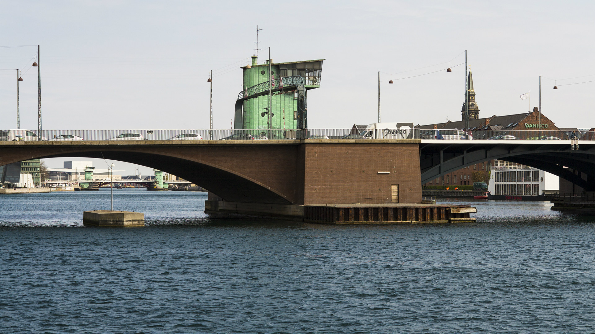
And now, in July, said proposal is now complete, and has made its way to Danish publication Jyllands-Posten. The circuit is comprised of approximately 13 (depending on how you count the kinks) corners, and is run counterclockwise. It crosses five bridges in total, and passes beneath a glass bridge similar to that found at Yas Marina, and though a tunnel-like building under construction, reminiscent of Monaco. Much like Monaco, this proposed street course is so narrow that it makes one clench at the mere thought of doing over 200 miles per hour down its asphalt. It curves back over itself, like Suzuka, too.
We took a look in Google Street View of the whole race course, and discovered some significant, but not insurmountable problems. For one, many of the streets are divided by raised medians, preventing use of the whole road. Even fast parts of the track, some as narrow as two lanes, are afflicted with this. Furthermore, no particularly good spot for the pits was noted, with the best candidates being the inside of the long, fast southern section of the track, and the corner immediately succeeding it, the slow left, where the inside could be converted to a tight pit area.
All of these problems will be a trivial matter to the Danish entrepreneurs and officials backing the project, should it be greenlit. In the meantime, enjoy our “onboard” of the circuit, as seen from only the fastest of Google Street View cars.
We start out lap here, as it is uncertain where the actual proposed start/finish line is located. This is the view from just before the bridge on the northeastern straight., Google Street View Onward, the drivers will stay flat through this fast, wide section of the track, a likely candidate for a DRS zone., Google Street View What appears to be a small ascent, toward one of the circuit’s bridges. Note the raised median that would need modification to host the race., Google Street View Now on the bridge, we approach the left kink., Google Street View A closer view of the kink. Even with low-downforce setups, this is likely to be a flat corner., Google Street View After the kink, this is the view uphill toward the slow left-hander., Google Street View Here is the left itself. The trees in the divider make it hard to gauge where Tilke intends to send cars: around the trees, or cut in before them?, Google Street View A view from the outside of the slow left., Google Street View Now, onto the short, narrow straight., Google Street View The buses are not a likely feature of the Grand Prix weekend., Google Street View Into the next corner, a slow right., Google Street View The view from outside the right hander., Google Street View Flat again, into what becomes one of the narrowest parts of the track., Google Street View The bridge that reminds me of Yas Marina, only less nouveau riche., Google Street View Fast, and absurdly narrow. Two lane road with a raised median? This will present a problem for the race’s organizers., Google Street View It might not be an actual tunnel, but passing under this building will give the cameras something to stay occupied by on this long straight., Google Street View Something tells me the construction will be long gone by the time any F1 car speeds though here., Google Street View Like Suzuka, this circuit passes over itself. The circuit loops around and onto that bridge later., Google Street View Now into the slow right hander. It turns into a sort of pseudo-chicane., Google Street View View from outside the right hander., Google Street View Esses, or chicane? Not quite sure what to call it, but there’s the left that completes it., Google Street View Exit stage left, onto this donkey trail., Google Street View They will need a lot of fencing around here to prevent cars from getting in the harbor., Google Street View View from outside the next right hander., Google Street View It just gets tighter, doesn’t it?, Google Street View The next right, seen here., Google Street View Slow right, seen from the outside., Google Street View Onto the next straight., Google Street View Kink right. Less narrow now, and no median., Google Street View Outside of next corner, right hander. Cars would enter right, leave left., Google Street View Now on the longest, fastest part of the track., Google Street View Stay flat onto yet another bridge., Google Street View Left kink, like Monza’s grand first sector, but flipped around., Google Street View Still flat., Google Street View Here’s the next left kink. Probably still flat., Google Street View Narrowing up. By now, the cars are banging on their limiters in 8th., Google Street View Small kink left in the braking zone, ahead is the left hander leading back toward where our lap started., Google Street View And now, finally, the slow left., Google Street View Slow left as seen from outside., Google Street View Back on the gas., Google Street View Can’t this thing go any faster?, Google Street View Back into the buildings, and toward our lap’s end., Google Street View And here we are, back where we started. Want another lap?, Google Street View