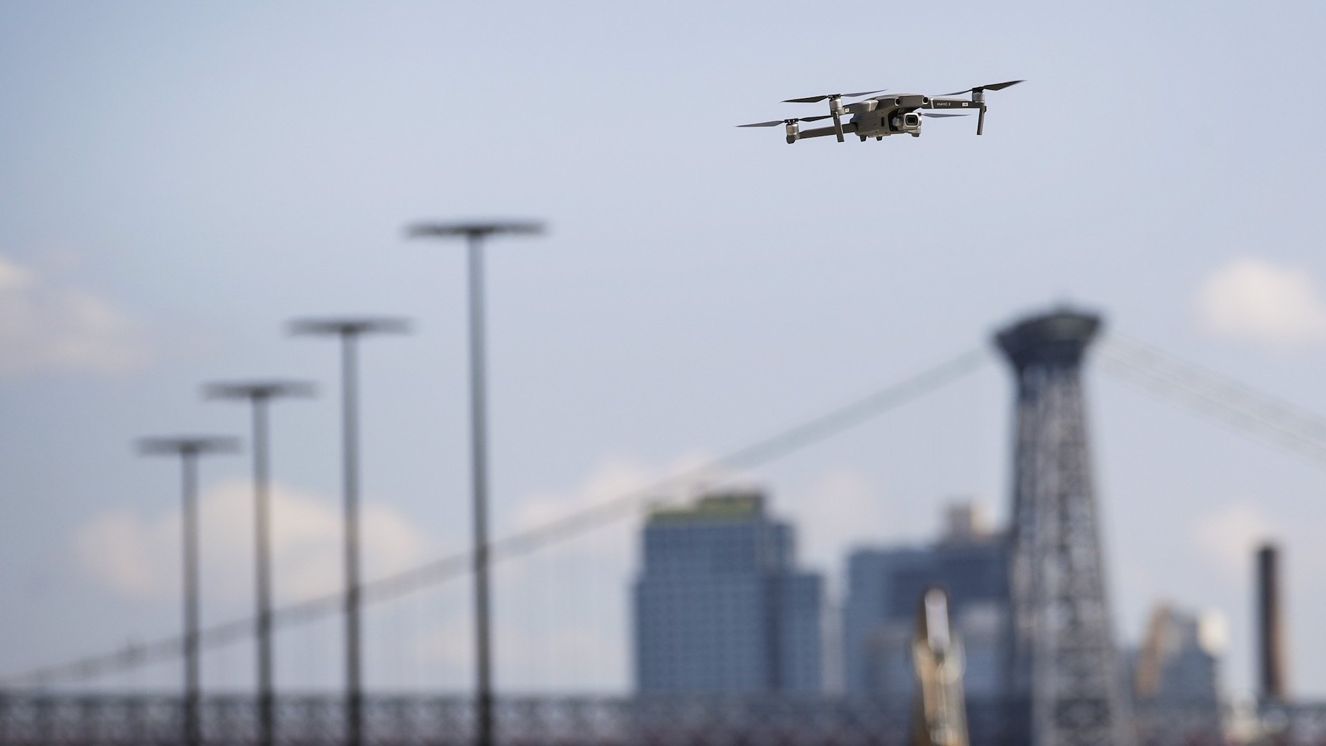

New York Gov. Andrew Cuomo pledged $30 million to kickstart New York’s unmanned aerial systems industry as part of his $250 million “Upstate Revitalization Initiative” last October. It resulted in the state’s first drone testing corridor currently being constructed, which will span across 50 miles of rural farmland from Griffiss International Airport in Rome to Syracuse, New York. Using Unifly’s software, Northeast UAS Airspace Integration Research Alliance (NUAIR) hopes to safely and securely trial flights beyond the visual line of sight (BVLOS).
According to Unifly’s press release, the unmanned traffic management (UTM) system company has officially joined the NUAIR for New York’s UAS Test Site, and will provide the UTM platform required to properly test drone missions once the corridor fully completes construction.
“This new partnership will provide the critical tools needed for beyond visual line of sight testing; capabilities not found at any other test site in the nation,” said Maj. Gen. Marke F. “Hoot” Gibson, chief executive officer of NUAIR. While North Dakota’s Northern Plains UAS Test Site recently garnered Federal Aviation Administration approval for BVLOS drone operations, and General Gibson’s statement isn’t entirely accurate, this is nonetheless a significant benchmark for New York state’s drone industry, and the U.S. drone landscape as a whole.
“It also shows that this region is able to lead the industry and attract partners from across the globe due to investments being made by New York state,” said Gibson. “We look forward to working with Unifly and deploying this industry-leading technology in coming months, and taking our capabilities to a new level.”
The reasoning behind Unifly’s winning bid to provide New York’s UAS Test Site with a thorough UTM system is presumably the company’s user-friendly system of alerting users where it’s safe and legal to fly, inform them of regional flight regulations, and provide air traffic controllers and aviation authorities with imperative information such as a unmanned aerial vehicle’s location, speed, and altitude.
All in all, this could result in a cohesive, all-encompassing UTM that alleviates the concerns of overseers and helps operators fly more securely. Stay tuned, as we keep a close eye on this particular UAS Test Site, and track its developments along the way to the integration of commercial drone traffic into national airspace.