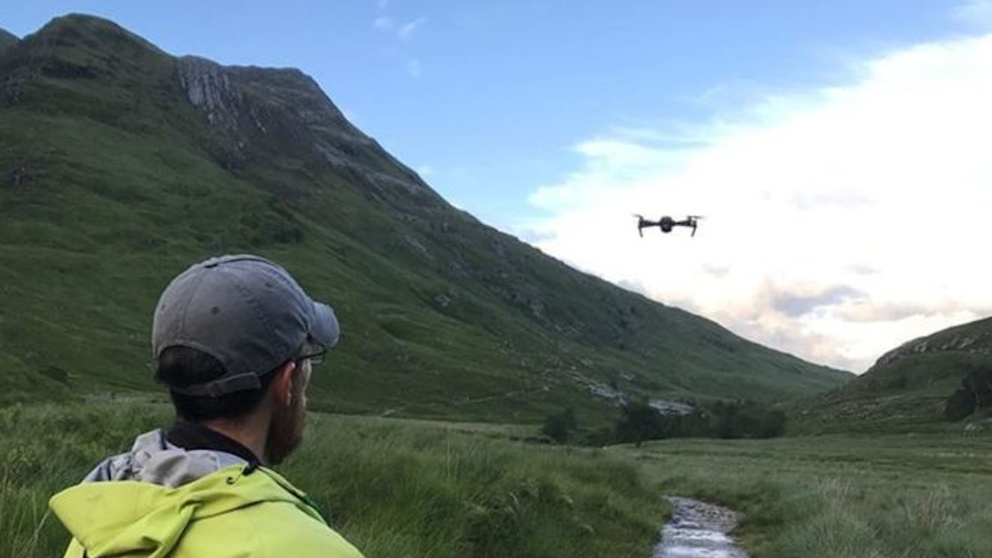
Scottish Mountain Rescue Team Uses Drones to Find Missing Hikers
The Lochaber Mountain Rescue Team in the Highlands of Scotland wants to ramp drone-use up, and even create a 3D map of the volatile, uncharted topography.

Unmanned aerial vehicles (UAVs) being used to locate missing hikers is becoming something of a trend. According to the BBC, last week a Scottish mountain rescue team in Lochaber piloted a drone to help locate a missing, injured female hiker on the Sgurr á Bhuic mountains.
The Lochaber Mountain Rescue Team (MRT) currently has two members who are trained and capable of piloting a drone for rescue purposes. In addition to this most recent case of locating a missing hiker in Sgurr á Bhuic, the Lochaber MRT has also assisted climbers in dire straits as they desperately needed help on a path called Long Climb.
Using the UAV in cases of missing hikers is nothing new for the Lochaber MRT—the team has done so before—but it's currently keen on developing a more detailed, useful map of the area in order to more efficiently deal with these situations in the future. According to the BBC, the team is deploying the drone over an area called Glen Nevis, where many hikers have gone missing before, in order to take photographs and create a 3D image of the area. Have a look at the highland terrain in question below. The area can reach fairly high altitudes, nevermind the fog that obfuscates your path, and those of the drone searching for you without accurate mapping.
According to the BBC, John Stevenson of the Lochaber MRT said that the drone allowed his team to search remote areas, places that were extremely difficult if not impossible to access without a UAV. He has high hopes that they will not only continue to use the device, but expand its potential use-cases and make greater use of this life-saving tool. Obviously, Stevenson is correct in that these flying, live streaming machines are of tremendous use in situations like these. Thankfully, the drone industry has been developing more and more sophisticated "search and rescue" drones.
During the Grenfell Tower blaze in London, the fire brigade used a drone to monitor damage as opposed to a team of people. These UAVs can minimize fatalities in a wide array of ways, so it's good to see local police or rescue forces in remote areas like the Highlands putting them to good use.
