Komatsu and Propeller Aero Partner for Aerial 3D Mapping of Construction Projects
By processing thousands of aerial images and creating digital, 3D models of construction sites, projects can be completed accurately and on time.

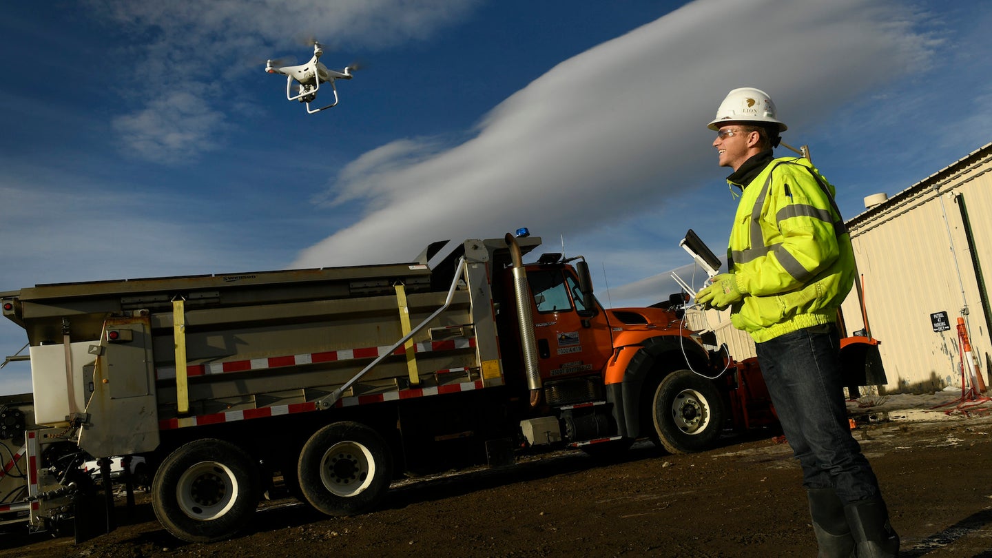
Komatsu has been running commercial drone mapping test trials for the past few years now in order to refine its Smart Construction business model that aims to provide a top-down workflow for construction projects in need of aerial mapping and analytics. According to today’s press release via PR Newswire, Propeller Aero will officially serve as a partner and provide Komatsu with a sophisticated processing technology that can rapidly sort through thousands of aerial images and create cloud-based 3D models conveniently accessible from a client’s computer or smart device.
We recently reported that drone usage in the construction industry has increased by 239 percent, year over year. The newfound benefits of this modern aerial technology are simply making themselves too apparent to further ignore. When you have an affordable tool that can efficiently monitor and map a designated area and conveniently process the collected data for more practical assessment, there’s really no excuse anymore. Komatsu has clearly been aware of this for some time now and is confident that Propeller Aero is the right partner to move upwards and onwards with.
Practically, Propeller’s post-processing system creates convenient digital models of a construction site, which clients can then use to accurately assess whether or not the project is on track. The delivered model allows those in charge to analyze height, volume, slope calculations, and the varying iterations over time.
“Worksites are starting to see the real business value of accurate, up-to-date drone data,” said Propeller Business Development VP John Frost. “We drive that value through workflows that enable everyone to understand who’s moved what material, how much, and where. It’s all about empowering worksites with the information they need to make data-driven decisions to reduce costs, ensure quality, and use resources efficiently.”
The construction business is filled with potential for minuscule miscalculation to jeopardize multimillion-dollar projects on any given day. For funding those said projects, any chance to somewhat guarantee successful completion is a highly appealing prospect, and doubly so if it includes automation and reduced cost. It’s no wonder that unmanned aerial systems have garnered so much favor in this particular industry, from Spokane, Washington to the city-state of Singapore.
“Anyone can fly a drone—it’s what you do with the data that makes an impression,” said Smart Construction Business Manager at Komatsu, Chris Faulhaber. We recently covered DARPA’s new Stand-off Ubiquitous Power/Energy Replenishment - Power Beaming Demo and came to a similar conclusion: now that we’ve collectively established drones as capable, affordable tools, it’s high time to put them to sensible use that can save us all some time, money, and effort.
