Flight Week in Colorado Sees Drone Experts Study Storms, Weather Patterns, Cattle Growth
The International Society for Atmospheric Research using Remotely Piloted Aircraft gathered drone experts to study climate patterns in Colorado.

The International Society for Atmospheric Research using Remotely Piloted Aircraft (or ISARRA, to keep it simple) hosted Flight Week in Alamosa, Colorado this week, after concluding its annual conference in Boulder last week. According to Daily Camera, the eclectic mix of drone experts gathered in the San Luis Valley ranged from regional academics and environmental institutions to representatives of drone company Black Swift Technologies. Their mission, simply described but infinitely complex, was to research how storms form and evolve, the effect of irrigation on weather patterns, and how effectively drone technology can measure cattle growth.
In addition to drone enthusiasts from all corners of the country observing from the sidelines, the University of Colorado’s Integrated Remote and In Situ Sensing team, Colorado University’s Institute for Research in Environmental Sciences (IRES), and the National Oceanic and Atmospheric Administration (NOAA) were on site to thoroughly contribute to ISARRA’s week of drone technology testing.
“It’s one of the larger campaigns of this kind ever, for the number of platforms involved,” said Black Swift CEO Jack Elston. “There are teams down there from all over the place.”
For Black Swift Technologies, which has used its drone technologies to study Costa Rican volcanic activity with gas-sampling unmanned aerial vehicles and garnered a NASA contract to contribute to atmospheric research on Venus, Flight Week was an opportunity to provide participating researchers with Black Swift drones (which can measure turbulence, wind speed, temperature, humidity and barometric pressure) and the means of comparing meteorological forecasts with independent study.
“These measurements will be used to validate the models and provide corrections, to point out where it’s inaccurate, and refine it and make it more reliable—not just for the San Luis Valley, but beyond,” Elston explained.
In order to properly test and engage in climate studies such as these, ISARRA managed to receive a Federal Aviation Administration-authorized waiving of the firmly established drone altitude limit of 400 feet. For Gijs de Boer, a research scientist at both CIRES and NOAA, these loosened regulations and liberated piloting opportunities, while appreciated, were certainly daunting.
“So far, everything is going well,” de Boer said. “And now I should be cautious and go find some wood to knock on.” With around 10 daily groups, each with two to eight drones, and nearly 200 flights per day, there’s been no shortage of participating, “which is really incredible,” added de Boer.
“Ultimately, each of the groups here for the most part on the university side have their own objectives, and some overlap with others’ interests, and others don’t,” he explained. “There are common topics, but we also provide time for groups to pursue their own research areas, which is really critical. We have to make sure they can come away with results for the projects they are here for.”
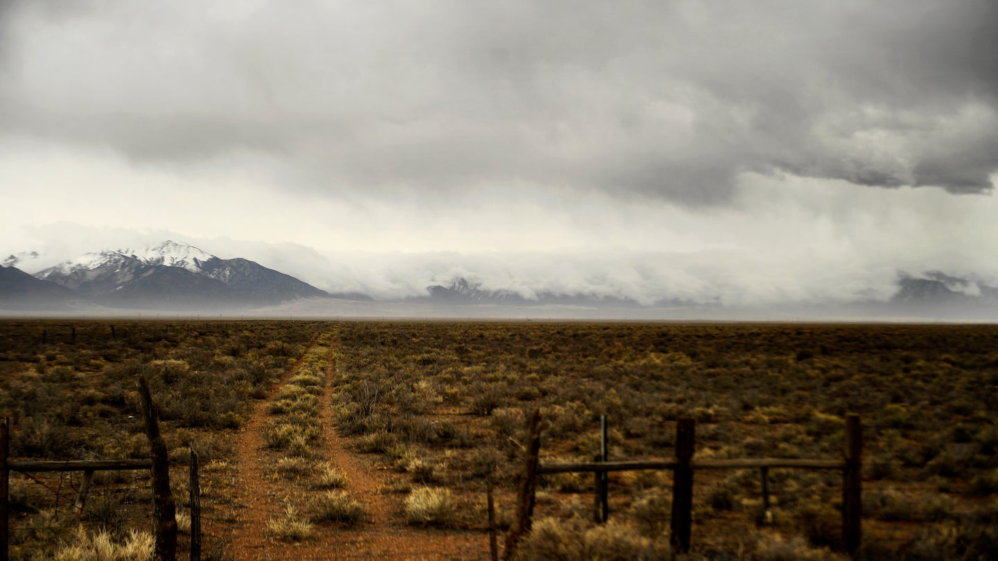
In terms of selecting an appropriate test site, the San Luis Valley provided a diverse enough terrain to offer the participating experts enough variety to research a wide array of factors. From high altitudes and valleys, farm and grassland to sand dunes and rivers, the mountainous area included elements that scientists could use to form conclusions and hypothesis for other environments entirely.
“One of the things we’ve been doing while here is testing new payloads and new instrumentation,” said de Boer. “With one of the instruments, we have been slated to go up to northern Alaska this fall, in September and October, to take measurements over newly forming sea ice. So there’s a very direct connection for me, even though the environment is completely different.”
With Flight Week set to conclude Saturday, hundreds of individual drone flights have contributed to the scientific research of our planet’s various climate factors. As far as drone initiatives go, ISARRA’s efforts to bring together an enthusiastic community, with each group exploring its own specific interest in depth, it’s safe to say this has been a complete success. Hopefully, drone technology continues to add to our collective understanding of the world around, beneath, and above us.
